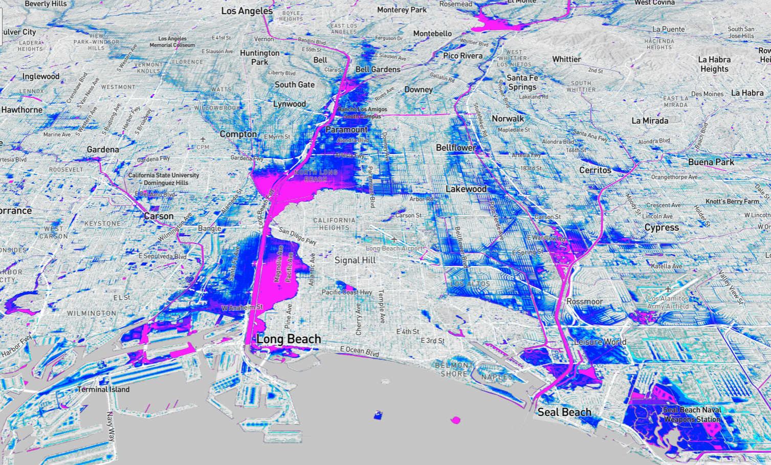
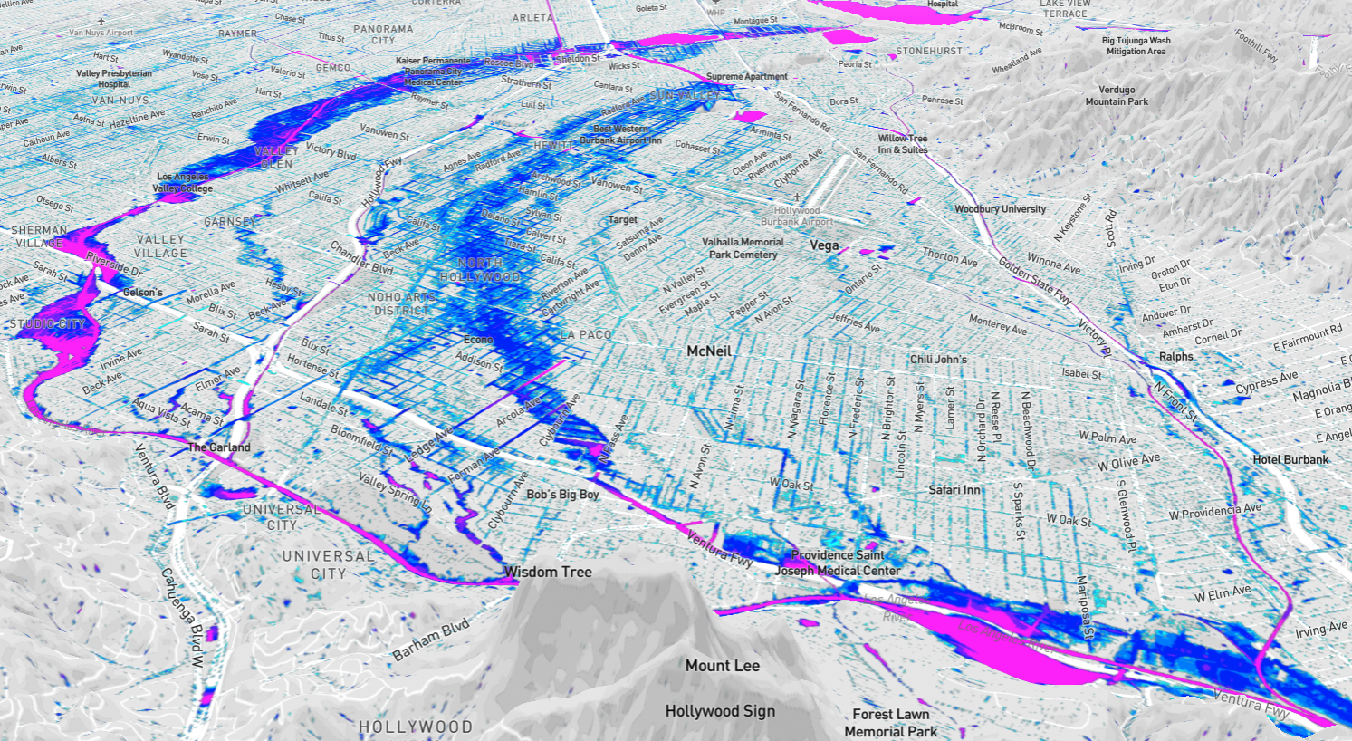
Customized models for actionable flood risk data
Zeppelin Floods provides the flood hazard models your community needs for adaptation planning and risk management.
Evaluate Risk
The key to securing mitigation funding is demonstrating flood risk and project benefits in your community. Zeppelin models can be configured to simulate the impact of proposed project conditions on current risk.
Plan Infrastructure
Zeppelin models allow you to interactively plan infrastructure. Fast-response simulations support exploration of many scenarios and facilitate increased participation among stakeholders.
Prioritize Projects
Mitigation projects are costly, and funding is limited. Zeppelin modeling and analysis supports prioritization of projects with tabulated metrics of economic, social, and environmental benefits.
Promote Equity
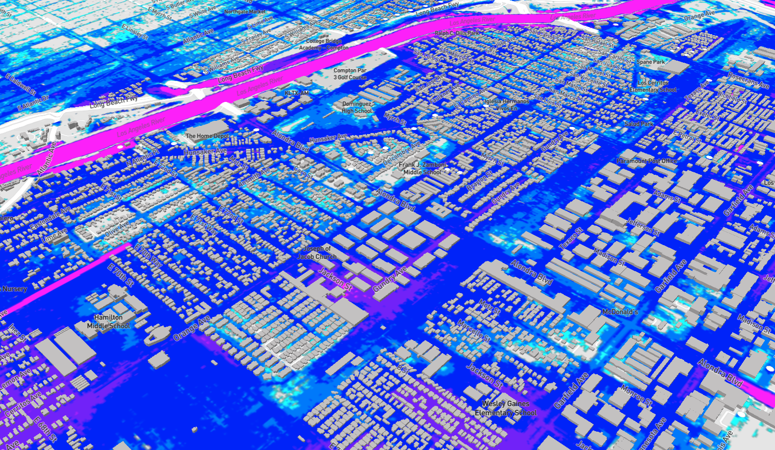
Zeppelin data supports planning through an equity lens. Social inequalities in present-day and future flood risks are quantified including racial, ethnic, economic disparities.
Communicate Risk
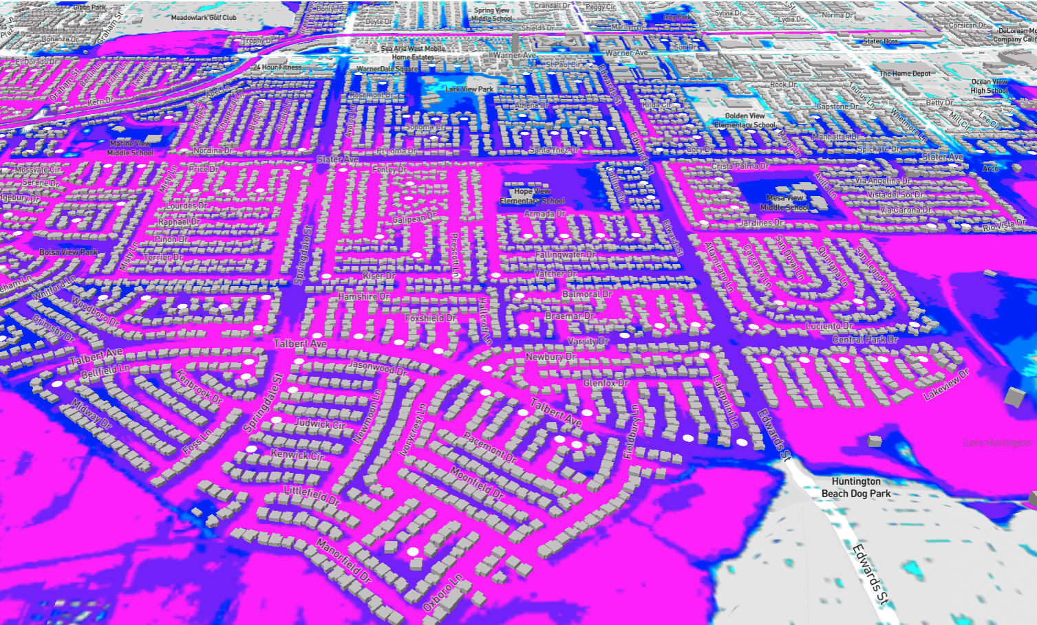
Community risk awareness is crucial for loss avoidance. Fine-resolution Zeppelin data supports community outreach with compelling visualizations of household-level risks.
Acquire Funding
Zeppelin data demonstrating risks and clear project benefits, with consideration of disadvantaged communities, will substantially strengthen state and federal proposals for project funding.
Static flood hazard maps are inadequate for adaptation planning and risk management.
Zeppelin provides clients with access to cutting edge flood hazard models, so that risk mitigation options can be evaluated and compared.
How Zeppelin Floods Works
We democratize high-tech flood modeling and risk data
01.
WE FRONT THE COST OF MODEL DEVELOPMENT
At Zeppelin Floods, our team builds and validates high-resolution flood hazard models at select locations across the United States. By developing the models internally, we eliminate the most expensive aspect of flood hazard modeling for our clients. After model development and validation, we can run simulations to evaluate specific project proposals within our coverage areas.
02.
WE EVALUATE RISK
After the creation of a new Zeppelin model, we run a set of baseline flood simulations to evaluate current risk. Baseline scenarios can be used as a starting point for understanding the flood risks in a region, and they can uncover risks that are not apparent from global models or standard FEMA maps.
03.
WE RUN YOUR SCENARIOS
We integrate your flood infrastructure and proposed project conditions into our models to test their effectiveness against a range of flooding scenarios. Our trusted tool can help your organization measure a project’s hazard mitigation benefits and optimize its design and location. Since you don’t need to wait months for model development, and since our models run in minutes, we expedite your infrastructure planning process.
04.
WE HELP SECURE FUNDING
Our goal is to go beyond project planning phases and help you secure the state or federal funding you need to implement proposed projects. The risk data produced by our models can be used for the cost benefit analyses required for most funding proposals. Additionally, Zeppelin data can be used to clearly communicate flood risks and proposed project benefits within your community. With our data, your project will have a higher chance of securing valuable government funding and will provide the greatest benefit to your community.
